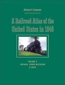
A Railroad Atlas of the United States in 1946: Volume 3: Indiana, Lower Michigan, and Ohio Volume 3
(Part of the Creating the North American Landscape Series)
A Railroad Atlas of the United States in 1946 recalls an era when steam locomotives were still king and passenger trains stopped at nearly every town in America. Railroad companies employed over a million workers, on the trains and along the tracks. Everything moved by rail: travelers, mail, and freight--whether a massive electric generator or a child's bicycle.
Richard C. Carpenter's hand-drawn color maps recapture the precise details: the various trunk and ancillary railroad passenger lines that served thousands of towns; long-since demolished steam locomotive and manual signal tower installations; towns that functioned solely as places where crews changed over; track pans; coaling stations; tunnels; bridges and viaducts; and other rail-specific sites.
The third and largest volume in this acclaimed series includes 276 maps and drawings and focuses on Indiana, Lower Michigan, and Ohio. These states could be called the crossroads of the national railroad network, where east-west transcontinental lines crossed north-south inter-regional lines. Carpenter depicts the major rail centers of Indianapolis, Gary, Detroit, Toledo, Cleveland, and Chicago, as well as every town and rail junction from Mackinaw City, Michigan, to Tell City, Indiana.
Related Subjects
Reference Science Science & Math Science & Scientists Science & Technology Transportation


