
Liverpool A-Z Street Atlas (Paperback)
No Customer Reviews

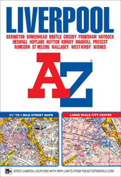
This A-Z map of Liverpool is a full colour, paperback street atlas featuring 120 pages of continuous street mapping which extends to include: -Maghull-Crosby-Bootle-Kirkby-Prescot-Huyton-St. Helens-Haydock-Widnes-Runcorn-Wallasey-Birkenhead-West Kirby-HeswallAlso included is: -a large scale city centre map of Liverpool-a postcode map of the Liverpool area-a Liverpool rail connections map, featured on the outside back coverPostcode districts, one-way streets, park and ride sites and safety camera locations with their maximum speed limits are featured on the mapping.The index section lists streets, selected flats, walkways and places of interest, place, area and station names. There is a separate list of hospitals, NHS Walk-in Centres and hospices covered by this atlas.
Format:Paperback
Language:English
ISBN:1843489112
ISBN13:9781843489115
Release Date:March 2017
Publisher:Geographers' A-Z Map Company Ltd.
Length:240 Pages
Dimensions:0.4" x 5.1" x 7.5"
Customer Reviews
0 rating
Copyright © 2025 Thriftbooks.com
Terms of Use | Privacy Policy | Do Not Sell/Share My Personal Information | Cookie Policy | Cookie Preferences | Accessibility Statement
ThriftBooks ® and the ThriftBooks ® logo are registered trademarks of Thrift Books Global, LLC
ThriftBooks ® and the ThriftBooks ® logo are registered trademarks of Thrift Books Global, LLC
