
Swansea A-Z Street Atlas
No Customer Reviews

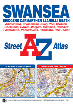
This A-Z map of Swansea, Bridgend, Carmarthen, Llanelli, Neath and Port Talbot is a full colour paperback featuring 125 pages of street mapping covering:*Mumbles*Pen-Clawdd*Gowerton*Gorseinon*Pwll*Burry Port*Portardulais*Gorlas*Ammanford*Brynamman*Skewen*Briton Ferry*Margam*Porthcawl*Pyle*PencoedThe Gower Peninsular, a popular holiday destination, is also covered by street mapping at a scale of 2 inches to 1 mile.A large scale city centre map of Swansea is included.Postcode districts, one-way streets and safety camera locations with maximum speeds are featured on the mapping.The index section lists streets, selected flats, walkways and places of interest, place, area and station names, hospitals and hospices covered by this atlas.
Format:Paperback
Language:English
ISBN:1782570837
ISBN13:9781782570837
Release Date:November 2018
Publisher:Geographers' A-Z Map Company Ltd.
Length:160 Pages
Dimensions:5.9" x 8.5"
Related Subjects
TravelCustomer Reviews
0 rating
Copyright © 2025 Thriftbooks.com
Terms of Use | Privacy Policy | Do Not Sell/Share My Personal Information | Cookie Policy | Cookie Preferences | Accessibility Statement
ThriftBooks ® and the ThriftBooks ® logo are registered trademarks of Thrift Books Global, LLC
ThriftBooks ® and the ThriftBooks ® logo are registered trademarks of Thrift Books Global, LLC
