
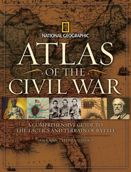
Atlas of the Civil War: A Complete Guide to the Tactics and Terrain of Battle
No Customer Reviews

Select Format
Select Condition 
Book Overview
In this one-of-a-kind atlas, scores of archival maps and dozens of newly created maps trace the battles, political turmoil, and great themes of America's most violent and pivotal clash of arms. From the Antebellum South to Fort Sumter, the assassination of Abraham Lincoln, and the fitful peace of Reconstruction, National Geographic's Atlas of the Civil War displays eye-opening maps--and a gripping, self-contained story--on every spread. Eighty-five rare period maps, many seen here for the first time, offer the cartographic history of a land at war with itself: from 19th-century campaign maps surveying whole regions and strategies to vintage battlefield charts used by Union and Confederate generals alike, along with commercial maps produced for a news-hungry public, and comprehensive Theater of War maps. In 35 innovative views created especially for this book, the key moments of major battles are pinpointed by National Geographic's award-winning cartographers using satellite data to render the terrain with astonishing detail. In addition, more than 320 documentary photographs, battlefield sketches, paintings, and artifacts bear eyewitness testimony to the war, history's first to be widely captured on film.
Format:Hardcover
Language:English
ISBN:1426203470
ISBN13:9781426203473
Release Date:October 2009
Publisher:National Geographic Society
Length:256 Pages
Weight:4.26 lbs.
Dimensions:0.9" x 10.6" x 13.8"
Customer Reviews
0 rating
Copyright © 2025 Thriftbooks.com
Terms of Use | Privacy Policy | Do Not Sell/Share My Personal Information | Cookie Policy | Cookie Preferences | Accessibility Statement
ThriftBooks ® and the ThriftBooks ® logo are registered trademarks of Thrift Books Global, LLC
ThriftBooks ® and the ThriftBooks ® logo are registered trademarks of Thrift Books Global, LLC
