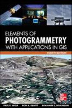
Elements of Photogrammetry with Application in Gis, Fourth Edition
Select Format
Select Condition 
Book Overview
The definitive guide to photogrammetry--fully updated Thoroughly revised to cover the latest technological advances in the field, Elements of Photogrammetry with Applications in GIS, Fourth Edition, provides complete details on the foundational principles of photogrammetry as well as important advanced concepts. Significant changes in the instruments and procedures used in modern photogrammetry, including laser scanning, are discussed. Example problems clarify computational procedures and extensive photographs and diagrams illustrate the material presented in this comprehensive resource.
Coverage includes:
Principles of photography and imaging Cameras and other imaging devices Image measurements and refinements Object space coordinate systems Vertical photographs Stereoscopic viewing Stereoscopic parallax Stereoscopic plotting instruments Laser scanning systems Elementary methods of planimetric mapping for GIS Titled and oblique photographs Introduction to analytical photogrammetry Topographic mapping and spatial data collection Fundamental principles of digital image processing Photogrammetric applications in GIS Control for aerial photogrammetry Aerotriangulation Project planning Terrestrial and close-range photogrammetryFormat:Hardcover
Language:English
ISBN:0071761128
ISBN13:9780071761123
Release Date:January 2014
Publisher:McGraw-Hill Companies
Length:696 Pages
Weight:2.25 lbs.
Dimensions:1.1" x 6.3" x 9.2"
Related Subjects
Artificial Intelligence Astronomy Astronomy & Space Science Computer Science Computer Technology Earth Sciences Education & Reference Engineering Geography GIS Graphics & Multimedia Information Systems Machine Vision Programming Science Science & Math Science & Scientists Science & Technology TechnologyCustomer Reviews
0 rating


