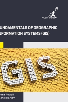
Fundamentals of Geographic Information Systems (GIS)
The book explains fundamental basis of GIS technology, spatial data modeling, attributes data management, GIS data analysis and modeling. The book offers key concepts with the use of simple and limited mathematics. Digital Image Processing, which forms the backbone of the book, is dealt with special care. The book presents the basic concepts and skills that readers need to know in order to solve everyday geographical problems. This book is solely written to meet the requirements of undergraduate courses in B.E. (Civil Engineering), B.Tech (Geoinformatics), the postgraduate courses and M.Tech in Remote Sensing, Postgraduate Diploma in Remote Sensing and GIS, and M.E (Geoinformatics) of various universities and institutions.
Format:Hardcover
Language:English
ISBN:1787151298
ISBN13:9781787151291
Release Date:January 2023
Publisher:Kruger Brentt Publisher Uk. Ltd.
Length:204 Pages
Weight:1.26 lbs.
Dimensions:0.5" x 7.0" x 10.0"
Customer Reviews
0 rating


