
Islamic Maps
No Customer Reviews

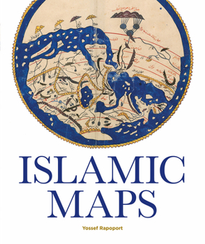
Spanning the Islamic world, from ninth-century Baghdad to nineteenth-century Iran, this book tells the story of Islamic cartography and the key Muslim map-makers who shaped the art over the centuries. Muslim geographers like al-Khwarazmi and al-Idrisi developed distinctive styles, often based on geometrical patterns and calligraphy, and their maps covered all the known world, from the sources of the Nile to the European lands of the north and the Wall of Gog and Magog in the east. These map-makers combined novel cartographical techniques with art, science, and geographical knowledge to produce maps that could be both aesthetically stunning and mathematically sophisticated. Islamic Maps examines Islamic visual interpretations of the world in their historical context through the map-makers themselves. What was the purpose of their maps, what choices did they make, and what arguments about the world were they trying to convey? Lavishly illustrated with stunning manuscripts, beautiful instruments, and Qibla charts, this book shows how maps constructed by Muslim map-makers capture the many dimensions of Islamic civilization across the centuries.
Format:Hardcover
Language:English
ISBN:1851244921
ISBN13:9781851244928
Release Date:December 2019
Publisher:Bodleian Library
Length:192 Pages
Weight:2.91 lbs.
Dimensions:0.8" x 9.6" x 11.3"
Customer Reviews
0 rating
Copyright © 2025 Thriftbooks.com
Terms of Use | Privacy Policy | Do Not Sell/Share My Personal Information | Cookie Policy | Cookie Preferences | Accessibility Statement
ThriftBooks ® and the ThriftBooks ® logo are registered trademarks of Thrift Books Global, LLC
ThriftBooks ® and the ThriftBooks ® logo are registered trademarks of Thrift Books Global, LLC
