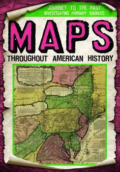
Maps Throughout American History
If you want to know where you are or where you are going, you can look at a map. Throughout American history, our nation's leaders and citizens were able to use maps for direction and learning. Sometimes these maps were not very accurate, and we can learn about how Americans viewed their world just by looking at the maps they had available. What would our nation look like without the 11 Confederate states? How can we reach the Pacific if there are no maps to guide us? Readers discover the story of our nation through primary sources in this intriguing volume.
Format:Library Binding
Language:English
ISBN:1538240440
ISBN13:9781538240441
Release Date:July 2019
Publisher:Gareth Stevens Publishing
Length:32 Pages
Weight:0.60 lbs.
Dimensions:0.3" x 6.7" x 9.2"
Age Range:9 to 11 years
Grade Range:Grades 4 to 6
Customer Reviews
0 rating


