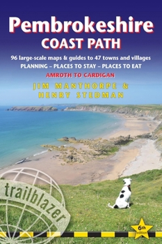
Pembrokeshire Coast Path: British Walking Guide: 96 Large-Scale Walking Maps and Guides to 47 Towns & Villages - Planning, Places to Stay, Place
Practical guidebook to walking the Pembrokeshire Coast Path. The walk follows a National Trail around the coastline in south-west Wales. Includes maps, accommodation, pubs and restaurants, and what to see along the coastal path. 102 maps: 96 large-scale walking maps, 6 town plans, 10 stage with trail profiles and 2 overview maps. Detailed accommodation: B&Bs, campsites, pubs, hotels, bunkhouses. Where to eat: cafes, pubs and restaurants. Detailed public transport information with frequency of services. Downloadable GPS waypoints. Itineraries for all walkers, whether hiking the entire route or sampling highlights on day walks, weekends or short breaks.
96 walking maps - 1:20,000 (3-1/8 inches to 1 mile) - the largest-scale maps available.10 stage maps with trail profiles and 2 overview mapsUnique mapping features - walking times, directions, tricky junctions, places to stay, places to eat, points of interest. Includes day walks and short breaks.Practical information for all budgets - what to see, where to stay, where to eat: pubs, B&Bs, hotels, campsites, hostels.Comprehensive public transport information - for all access points on the Coast PathFlora and fauna - four page full color flower guide, plus an illustrated section on local wildlifeGreen hiking - understanding the local environment and minimizing our impact on itIncludes GPS waypoints. These are also downloadable from the Trailblazer website
Format:Paperback
Language:English
ISBN:1912716135
ISBN13:9781912716135
Release Date:June 2021
Publisher:Trailblazer Publications
Length:236 Pages
Weight:0.56 lbs.
Dimensions:0.5" x 4.7" x 7.1"
Customer Reviews
0 rating


