
Portsmouth A-Z Street Atlas
No Customer Reviews

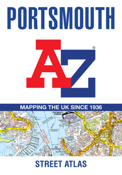
Navigate your way around Portsmouth with this detailed and easy-to-use A-Z Street Atlas. Printed in full-colour, paperback format, this atlas contains 54 pages of continuous street mapping. The main mapping extends beyond central Portsmouth at a scale of 4 inches to 1 mile, featuring postcode districts, one-way streets, park and ride sites, and safety camera locations. Areas covered include: * Fareham * Gosport * Havant * Horndean * Waterlooville * Emsworth * Hayling Island * Portsea Island * Cosham * Lee-on-the-Solent * Stubbington * Portchester * Wickham and Clanfield (inset) Separate coverage of Petersfeld is provided. The large-scale street map of Portsmouth city centre - at a scale of 8 inches to 1 mile - includes: * Places of Interest Guide, highlighting historic maritime tourist attractions to modern-day landmarks * Postcode map of the Portsmouth area * Road map of the Portsmouth area * South Downs National Park boundaries A comprehensive index lists streets, selected flats, walkways and places of interest, place, area and station names. Additional healthcare (hospitals, walk-in centres and hospices) are indexed as well.
Format:Paperback
Language:English
ISBN:0008445222
ISBN13:9780008445225
Release Date:June 2021
Publisher:Geographers' A-Z Map Company Ltd.
Length:96 Pages
Related Subjects
TravelCustomer Reviews
0 rating
Copyright © 2025 Thriftbooks.com
Terms of Use | Privacy Policy | Do Not Sell/Share My Personal Information | Cookie Policy | Cookie Preferences | Accessibility Statement
ThriftBooks ® and the ThriftBooks ® logo are registered trademarks of Thrift Books Global, LLC
ThriftBooks ® and the ThriftBooks ® logo are registered trademarks of Thrift Books Global, LLC
