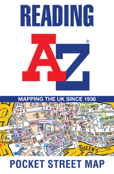
Reading A-Z Pocket Street Map
Navigate your way around Reading with detailed street maps from A-Z This up-to-date, folded A-Z street map includes all of the 1,500 streets in and around Reading. As well as the city centre and the University of Reading, the other areas covered include Whitley, Coley Park, New Town and Caversham. The large-scale street map includes the following: * Places of interest * Postcode districts, one-way streets and car parks * Index to streets, places of interest, place and area names, park and ride sites, national rail stations, hospitals and hospices The perfect reference map for finding your way around Reading.
Format:Hardcover
Language:English
ISBN:0008445303
ISBN13:9780008445300
Release Date:July 2021
Publisher:Geographers' A-Z Map Company Ltd.
Length:1 Pages
Related Subjects
TravelCustomer Reviews
0 rating


