
South East England Regional A-Z Road Atlas
No Customer Reviews

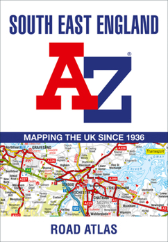
This A-Z map of South East England is a full colour regional road atlas featuring 46 pages of continuous road mapping extending from Banbury and Felixstowe to the south coast, and from Oxford and Southampton to Margate and Clacton-on-Sea in the east. Road map detail is shown at a clear 2.5 miles to 1 inch scale (1.58 km to 1 cm) and includes the following features: * Motorways open with full junction detail, motorways under construction and proposed, service areas, primary routes and destinations, A & B roads, selected minor roads, gradients 1:5 and steeper, tolls, mileages, county boundaries, spot heights and hill shading * Selected fuel stations * National Park boundaries * Selected places of interest, tourist information centres and golf courses Also included are 21 city, town, airport or port plans for Brighton & Hove, Canterbury, Dover, Eastbourne, Folkestone, Guildford, London, Medway Towns, Milton Keynes, Oxford, Portsmouth, Reading. Southampton, Winchester, Windsor, London Gatwick Airport, London Heathrow Airport, London Luton Airport, London Stansted Airport, Newhaven Port, and Portsmouth Port. The index section lists cities, towns, villages, hamlets and locations covered by the road mapping.
Format:Paperback
Language:English
ISBN:0008560587
ISBN13:9780008560584
Release Date:July 2023
Publisher:Geographers' A-Z Map Company Ltd.
Length:72 Pages
Related Subjects
TravelCustomer Reviews
0 rating
Copyright © 2025 Thriftbooks.com
Terms of Use | Privacy Policy | Do Not Sell/Share My Personal Information | Cookie Policy | Cookie Preferences | Accessibility Statement
ThriftBooks ® and the ThriftBooks ® logo are registered trademarks of Thrift Books Global, LLC
ThriftBooks ® and the ThriftBooks ® logo are registered trademarks of Thrift Books Global, LLC
