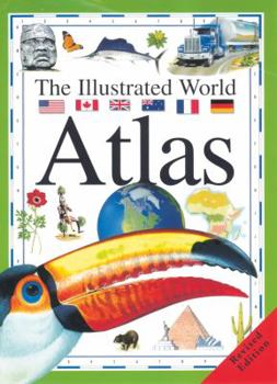
The Illustrated World Atlas
Select Format
Select Condition 
Book Overview
A complete resource for project work, The Illustrated World Atlas takes an integrated approach, combining essential reference and cartographic information with stimulating artwork and photos that reflect the fifteen major regions around the globe. Organized on a spread-by-spread basis, three main themes are covered in each region: - people and places - nature - farming and industry This makes comparative information easy to find and the book a joy to use. Features: - highly cartographic with large, up-to-date relief maps - superb illustrations and stimulating photographs - divided into fifteen regions, each featuring people and places, nature, farming and industry - extensive data files on population and statistics - fascinating key facts - presented in an accessible way - a comprehensive gazetteer and index helps readers find their way around the world. Each section includes: - national flags - prominent headings - specially selected photographs showing regional life - a grid of letters, numbers, and blue and white boarder which cross-references with the gazetteer - detailed maps - locator globes - compass point - data files
Format:Paperback
Language:English
ISBN:0778700402
ISBN13:9780778700401
Release Date:January 2005
Publisher:Crabtree Publishing Company
Length:80 Pages
Weight:1.15 lbs.
Dimensions:0.2" x 9.8" x 13.3"
Age Range:7 to 11 years
Grade Range:Grades 2 to 6


