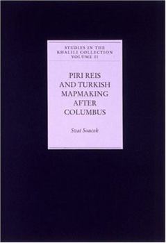
Piri Reis and Turkish Mapmaking After Columbus
The Ottoman naval commander and cartographer Piri Reis (c. 1475-1554) played a leading role in transmitting the discoveries made on Columbus's first voyage to the inhabitants of the Muslim lands around the Mediterranean. The Khalili Portolan Atlas is a fine, hand-drawn example of the cartographic tradition established by Piri Reis. It also contains a series of city views, including unprecedented depictions of Galata, on the northern shore of the Golden Horn, and of Candia in Crete, which reflect the vitality of Ottoman topographical painting in the late seventeenth century. Soucek's analysis shows how Reis's work represented a fusion of the Islamic world view with European map-making traditions.
Format:Hardcover
Language:English
ISBN:019727501X
ISBN13:9780197275016
Release Date:July 1996
Publisher:Oxford University Press, USA
Length:196 Pages
Weight:2.40 lbs.
Dimensions:0.8" x 12.0" x 8.3"
Related Subjects
Engineering Science Science & Math Science & Scientists Science & Technology TechnologyCustomer Reviews
0 rating


