
West Sussex A-Z Street Atlas
No Customer Reviews

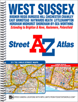
This A-Z map of West Sussex is a spiral bound street atlas featuring complete countywide coverage in a single book. The atlas contains 180 pages of coloured street mapping covering:*Arundel*Billingshurst*Bognor Regis*Burgess Hill*Chichester*Crawley*Cuckfield*East Grinstead*Hassocks*Haywards Heath*Horsham*Littlehampton*Middleton-on-Sea*Midhurst*Petworth*Selsey*Shoreham-by-Sea*Steyning*Storrington*WorthingAlso included is coverage of Brighton and Hove, Haslemere and Petersfield and a large scale town centre map of Brighton.Postcode districts, one-way streets, safety camera locations with speed limits and the South Downs National Park boundary are featured on the street mapping.The index section lists streets; selected flats, walkways and places of interest; place, area and railway station names. There is a separate index to hospitals and hospices covered by this atlas.
Format:Spiral-bound
Language:English
ISBN:178257123X
ISBN13:9781782571230
Release Date:July 2016
Publisher:Geographers' A-Z Map Company Ltd.
Length:240 Pages
Dimensions:7.6" x 10.4"
Related Subjects
TravelCustomer Reviews
0 rating
Copyright © 2025 Thriftbooks.com
Terms of Use | Privacy Policy | Do Not Sell/Share My Personal Information | Cookie Policy | Cookie Preferences | Accessibility Statement
ThriftBooks ® and the ThriftBooks ® logo are registered trademarks of Thrift Books Global, LLC
ThriftBooks ® and the ThriftBooks ® logo are registered trademarks of Thrift Books Global, LLC
